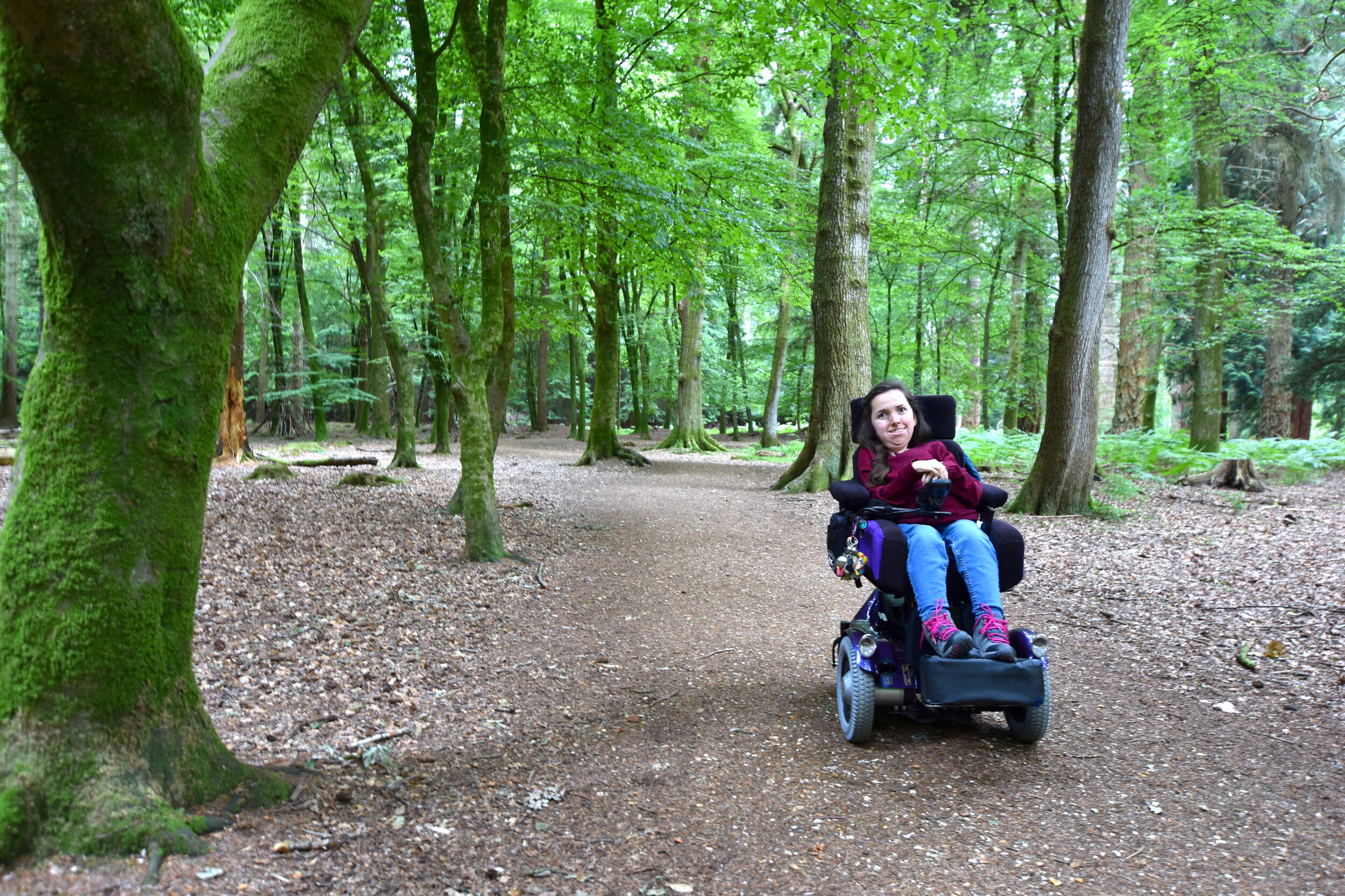
3 Wheelchair Accessible Walks In The New Forest
The New Forest National Park is an idyllic spot in the south of England, famous for its free-roaming ponies, cattle, donkeys and deer. Escape from your world as you immerse yourself amongst the ancient woodland with some of our favourite wheelchair accessible walking routes in one of the most magical parts of the forest.
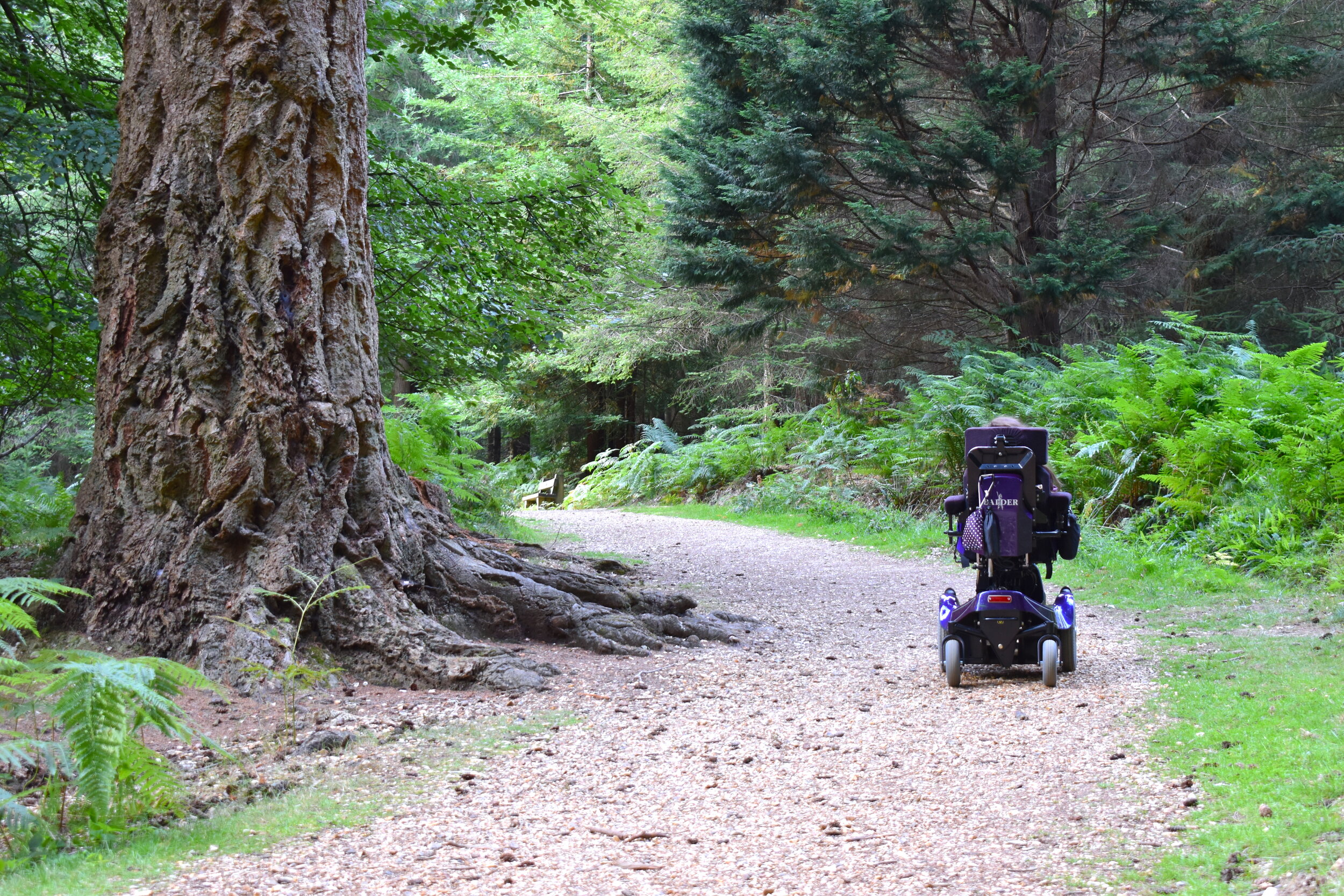
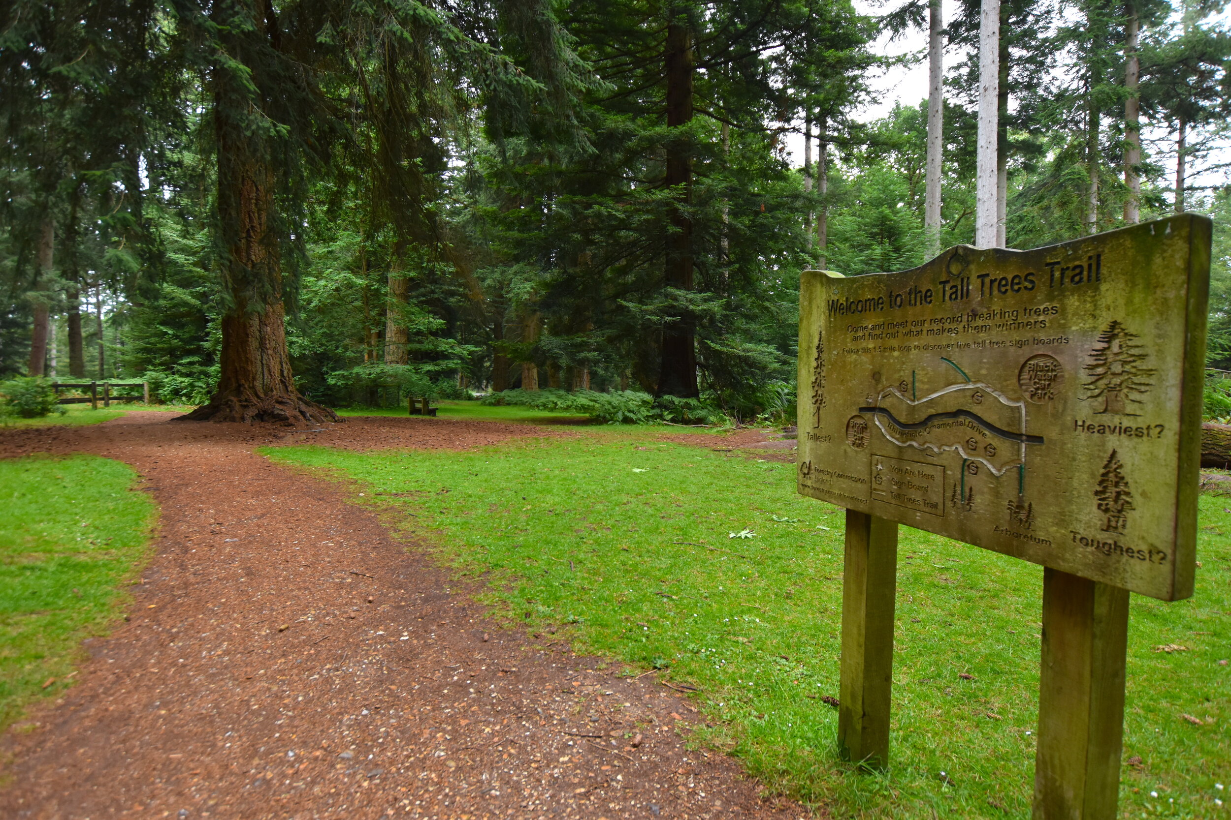
1- The Tall Trees Trail

Route Details
Difficulty: Easy
Terrain: Mostly forest-floor and pressed-gravel
Distance: 1.5 miles
About
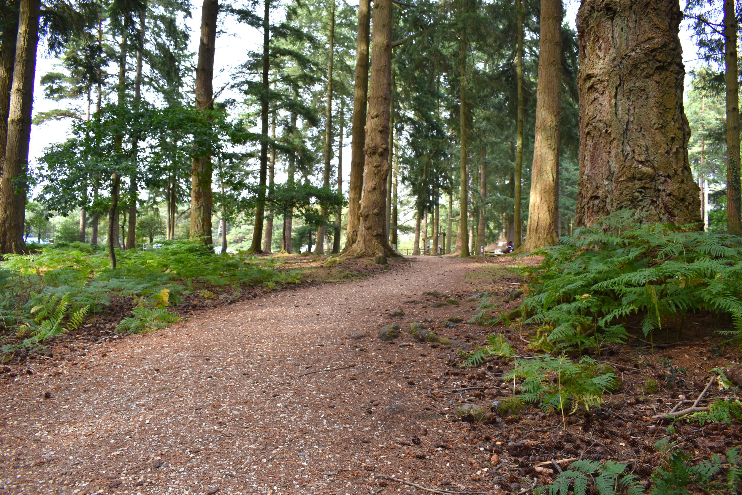
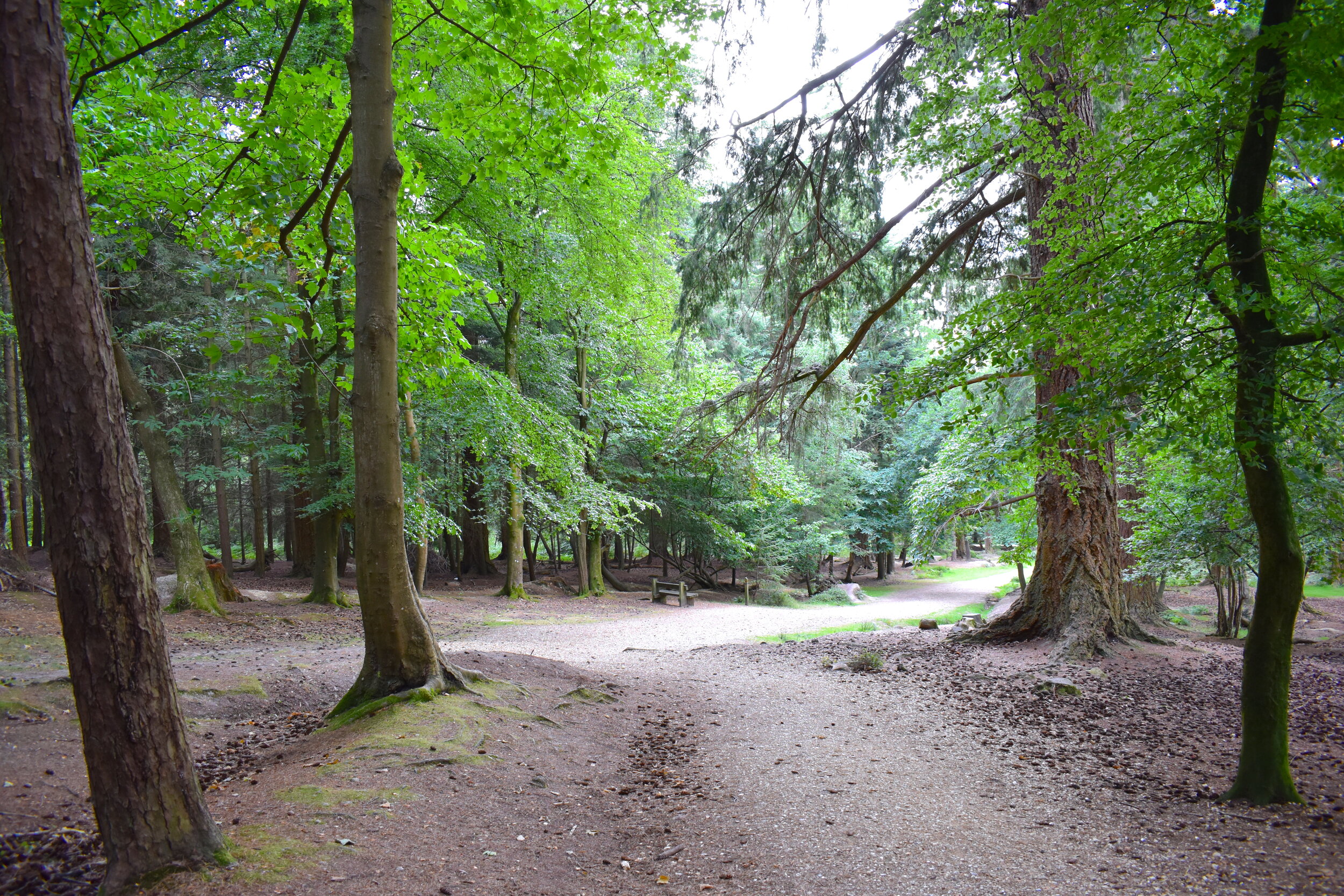
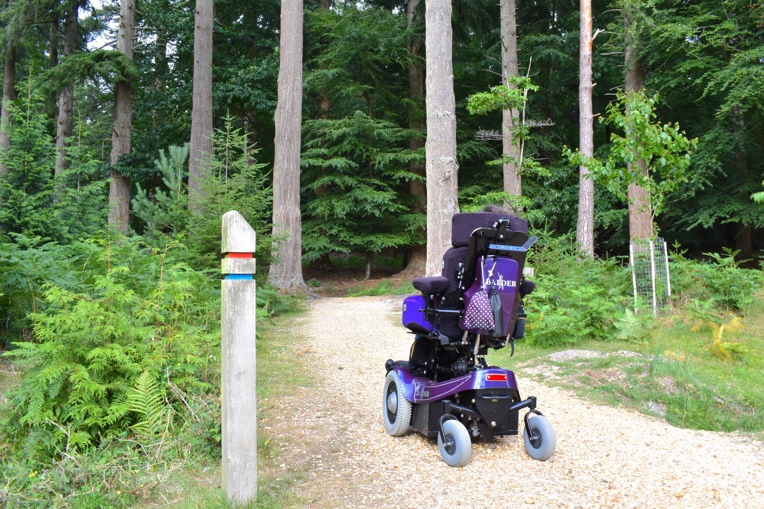
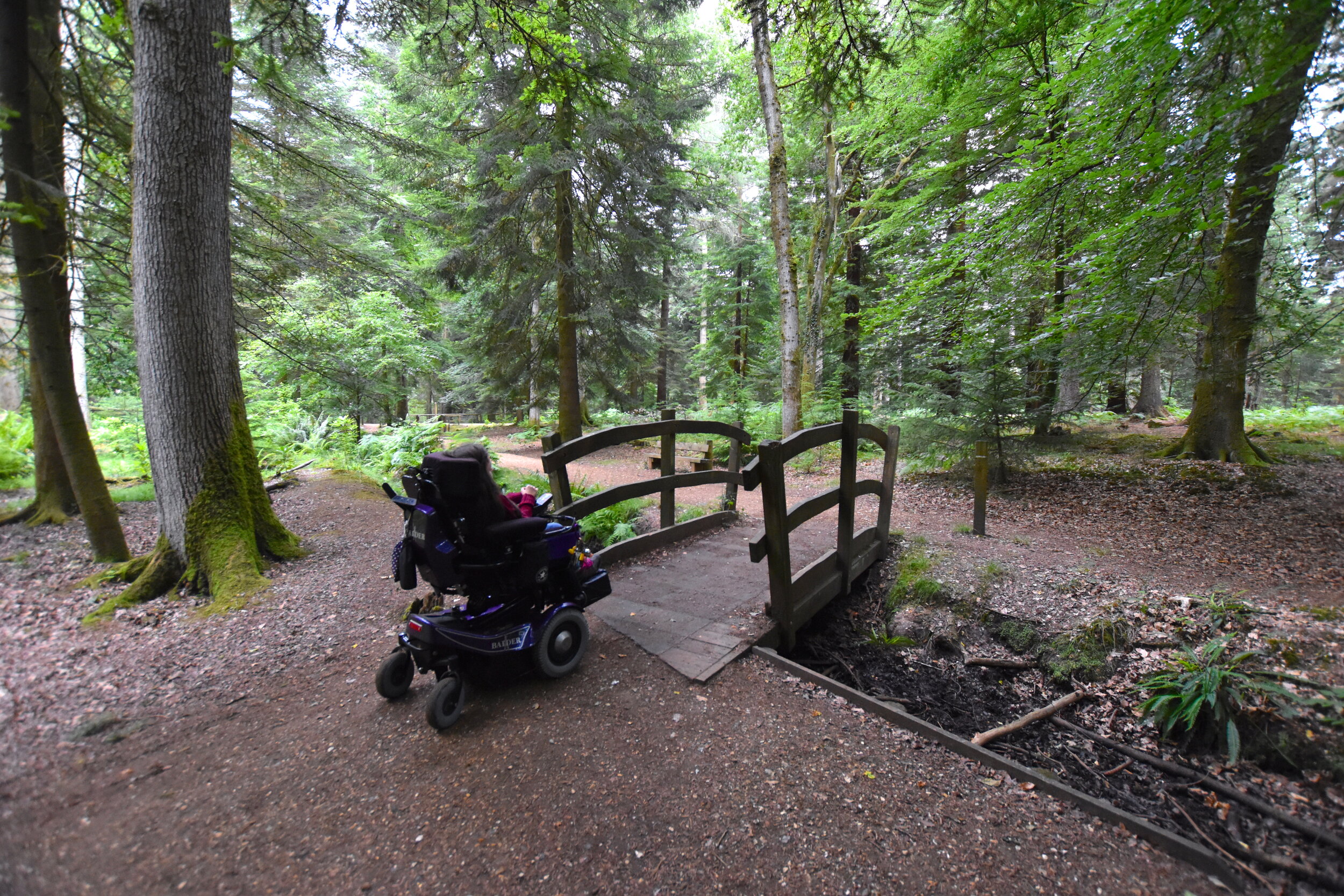
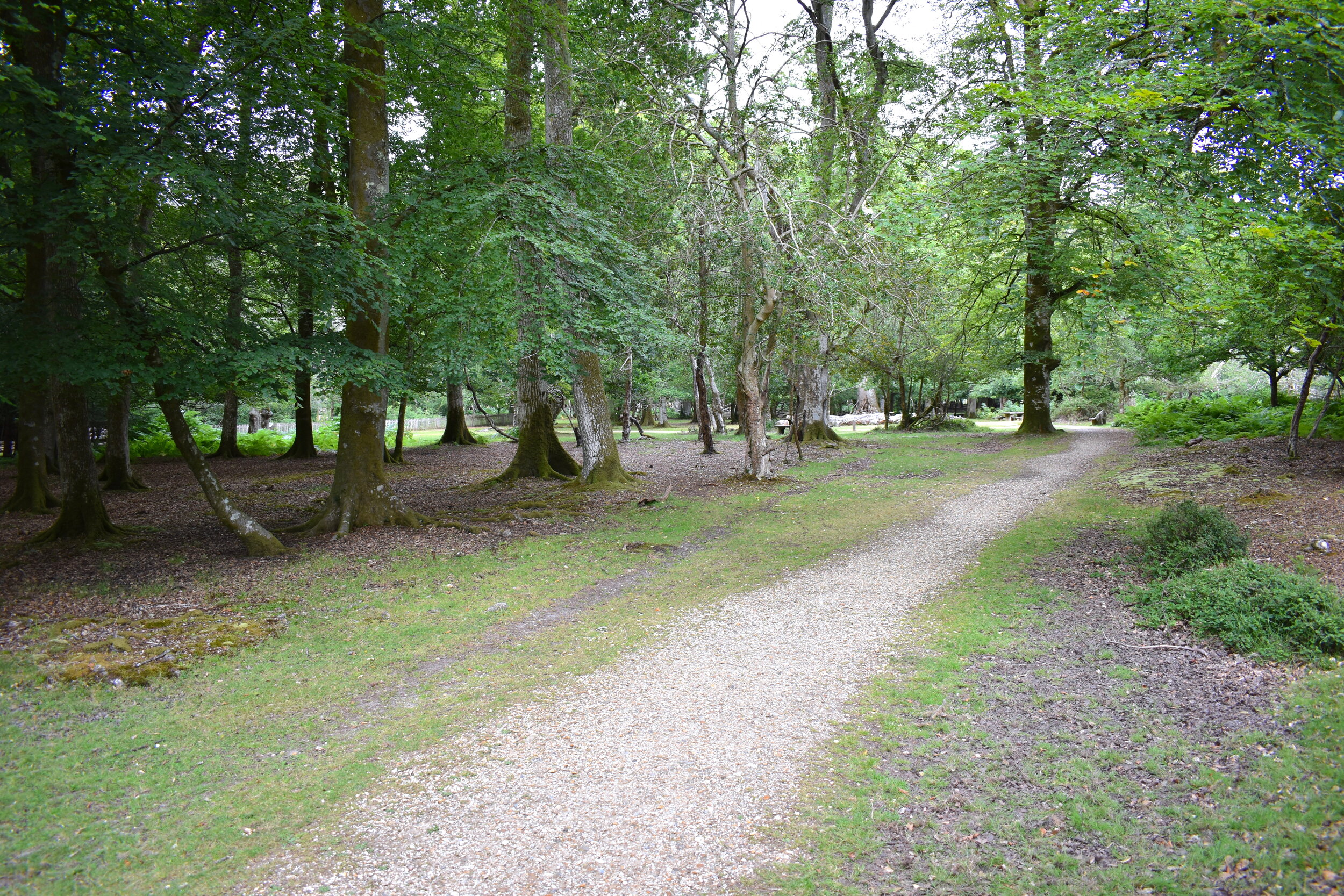
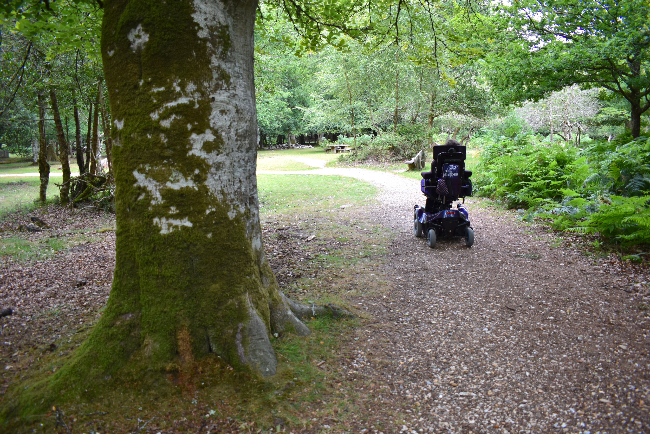
The trail begins at Blackwater car park and runs through forest on a pressed-gravel/forest-floor path, which is fairly smooth and level throughout, apart from a few tree roots which are easily avoidable. Following the white way-marked route, about half way along you will need to cross a road before continuing on the path which loops back to the car park. You can also start and finish the route at Brock Hill Car park if you would prefer.
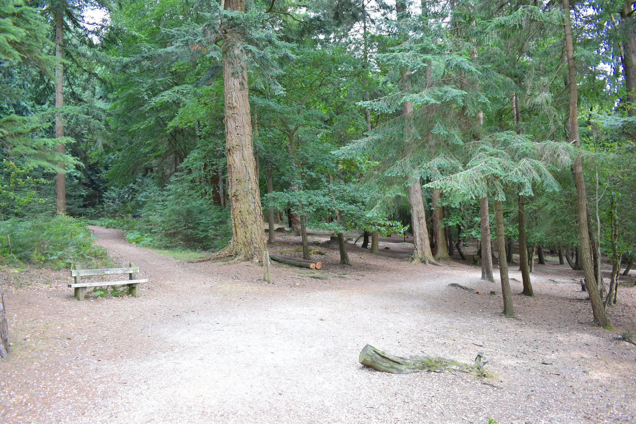
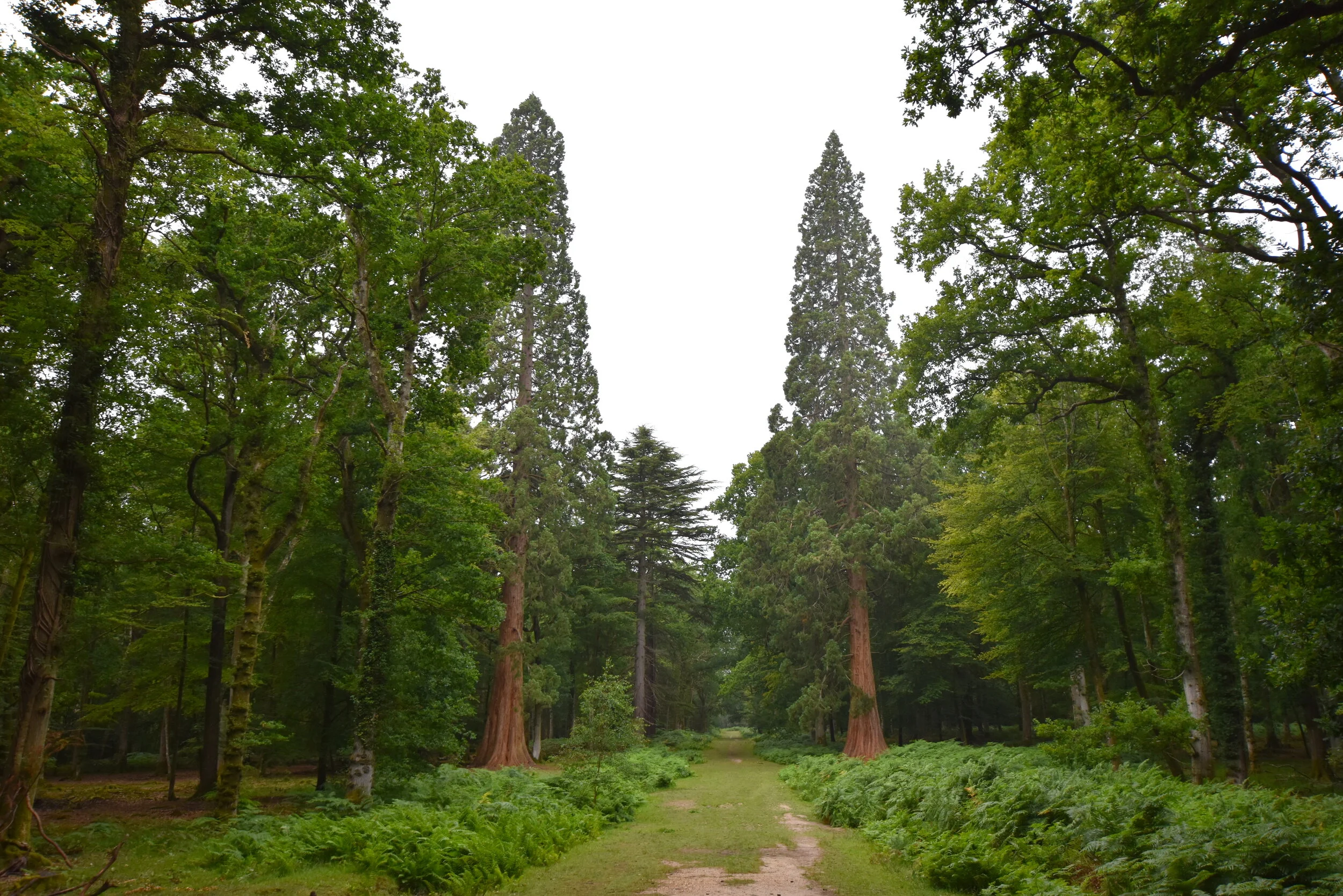
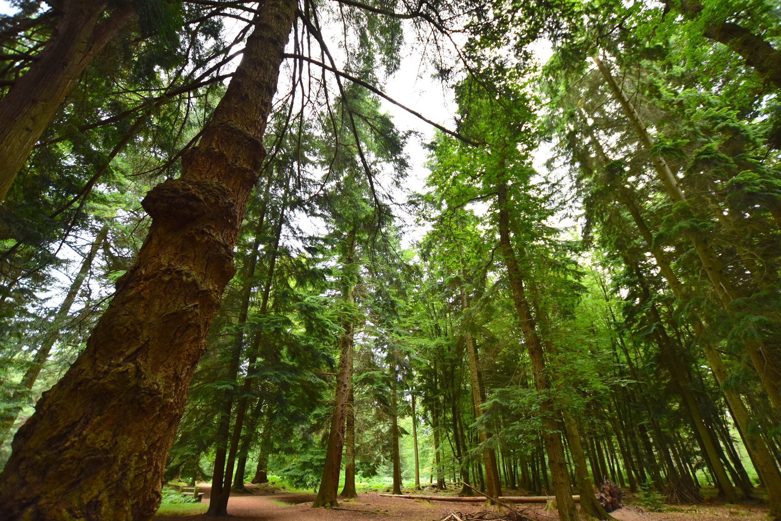
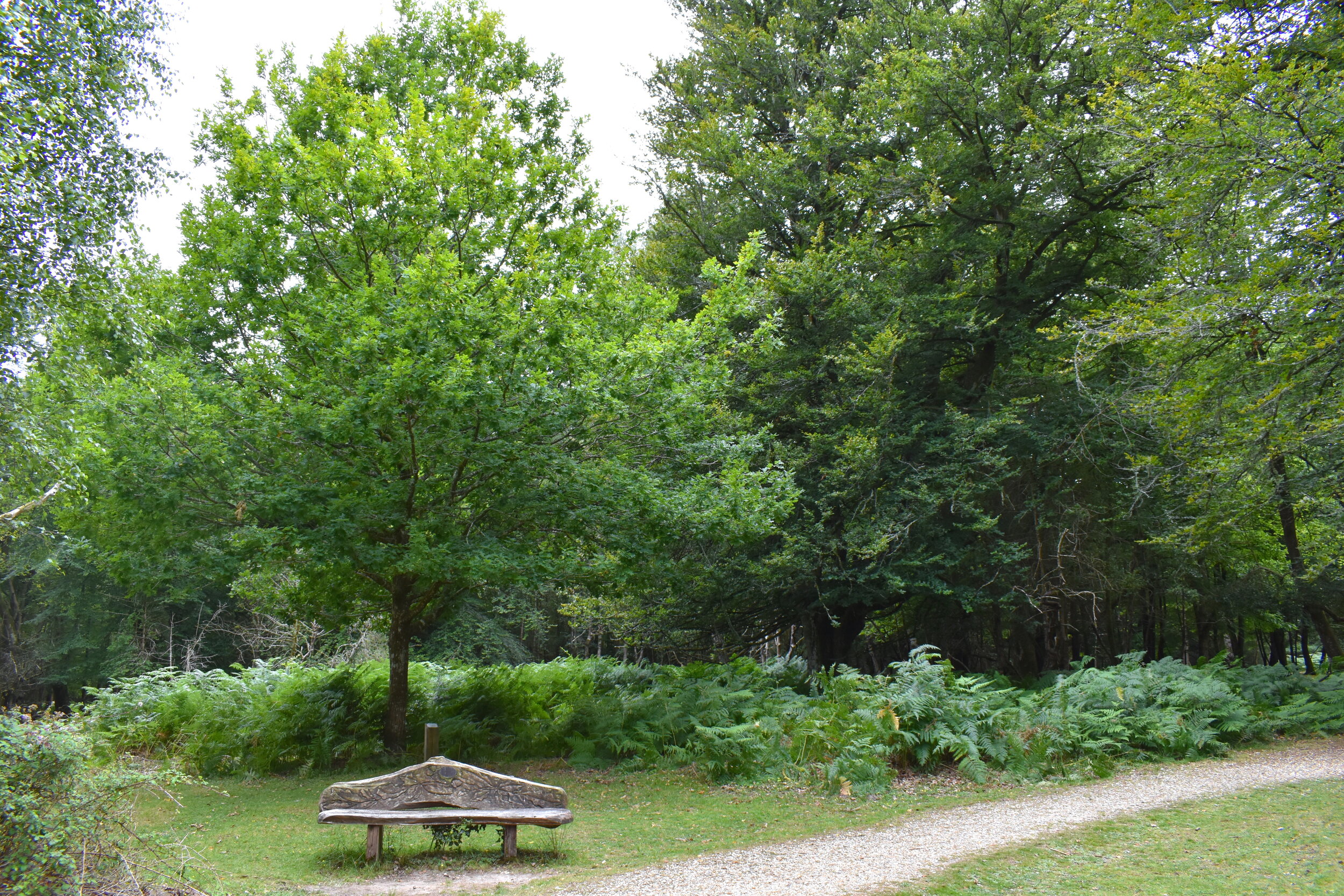
As the name would suggest, this route takes you on a tour through some of the tallest trees in the New Forest, including majestic douglas-firs, coast redwoods and giant sequoias! The huge canopy of trees overhead makes it a great route for any weather, as it provides shade from the sun and shelter from the rain. Although the path runs alongside the road, it really does feel like you’re in the heart of the forest and there are plenty of benches to stop at along the way, to rest or just absorb the tranquility.
Interesting Things to Look For
Information signs teaching you about the trees.
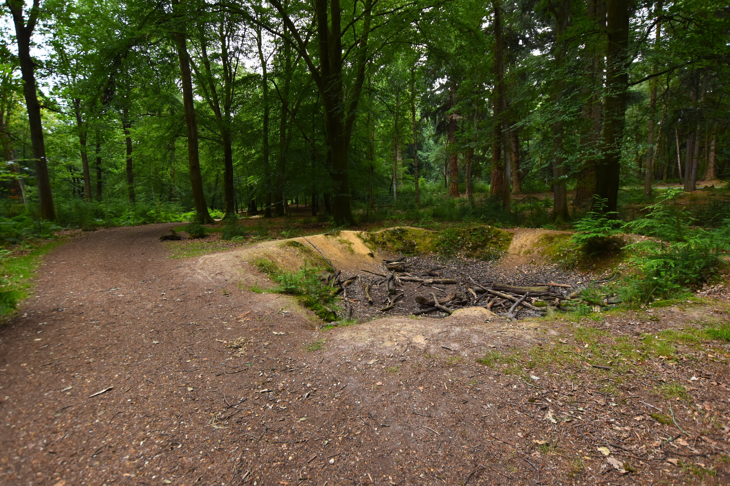
WW2 bomb crater.
Largest trees in the New Forest - 2 giant sequoias (pictured), weighing 105 tons!
How To Get There
Blackwater Car Park, Rhinefield Ornamental Drive, Brockenhurst, SO42 7QB
Coordinates: 50.840697, -1.621659
This route is situated 3.5 miles from Brockenhurst, and begins at Blackwater Car Park, just off Rhinefield Ornamental Drive.
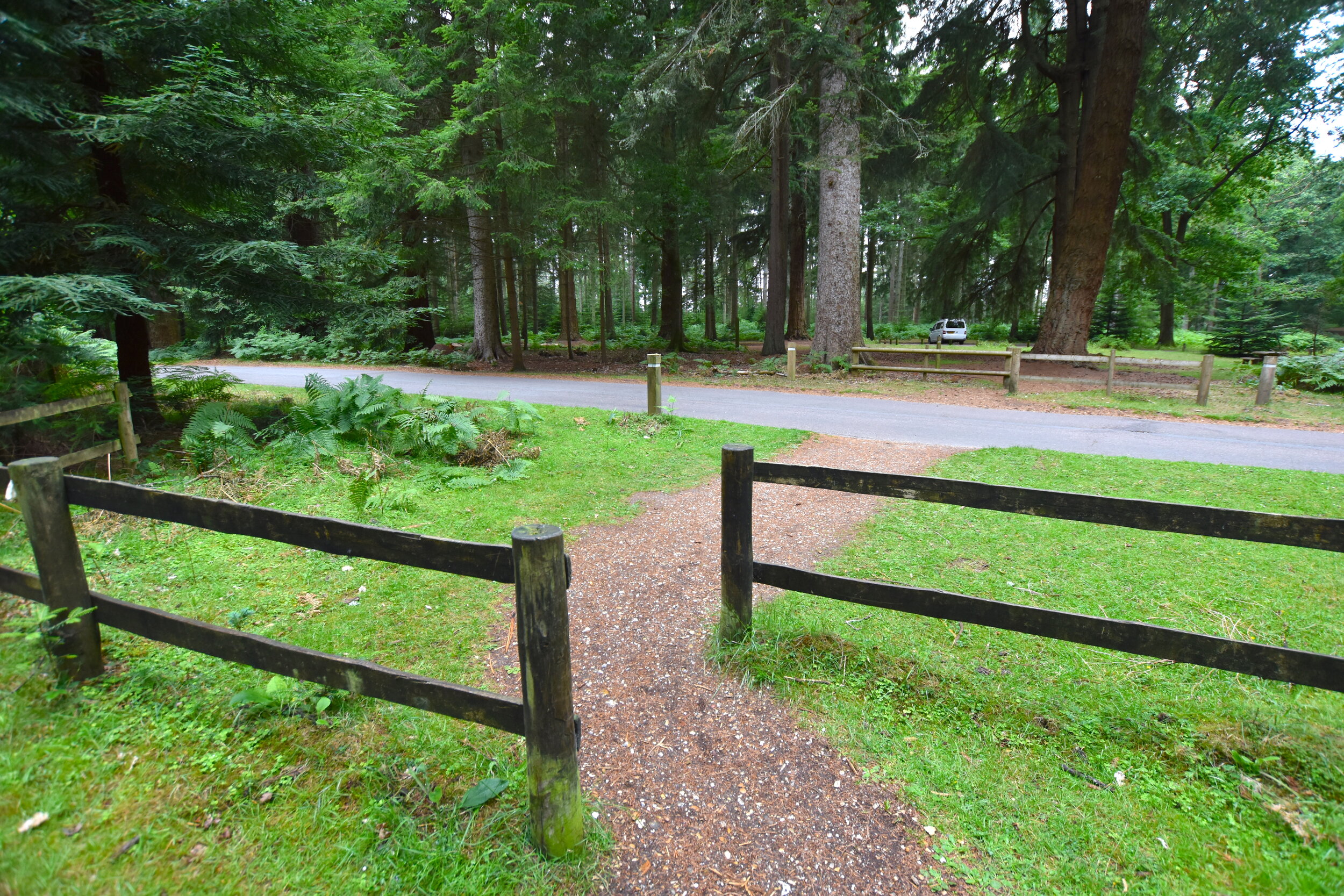
The car park is made up of pressed gravel and has a good number of spaces, including designated disabled bays. At the top of the car park you will find a toilet block- this also includes an accessible stall.
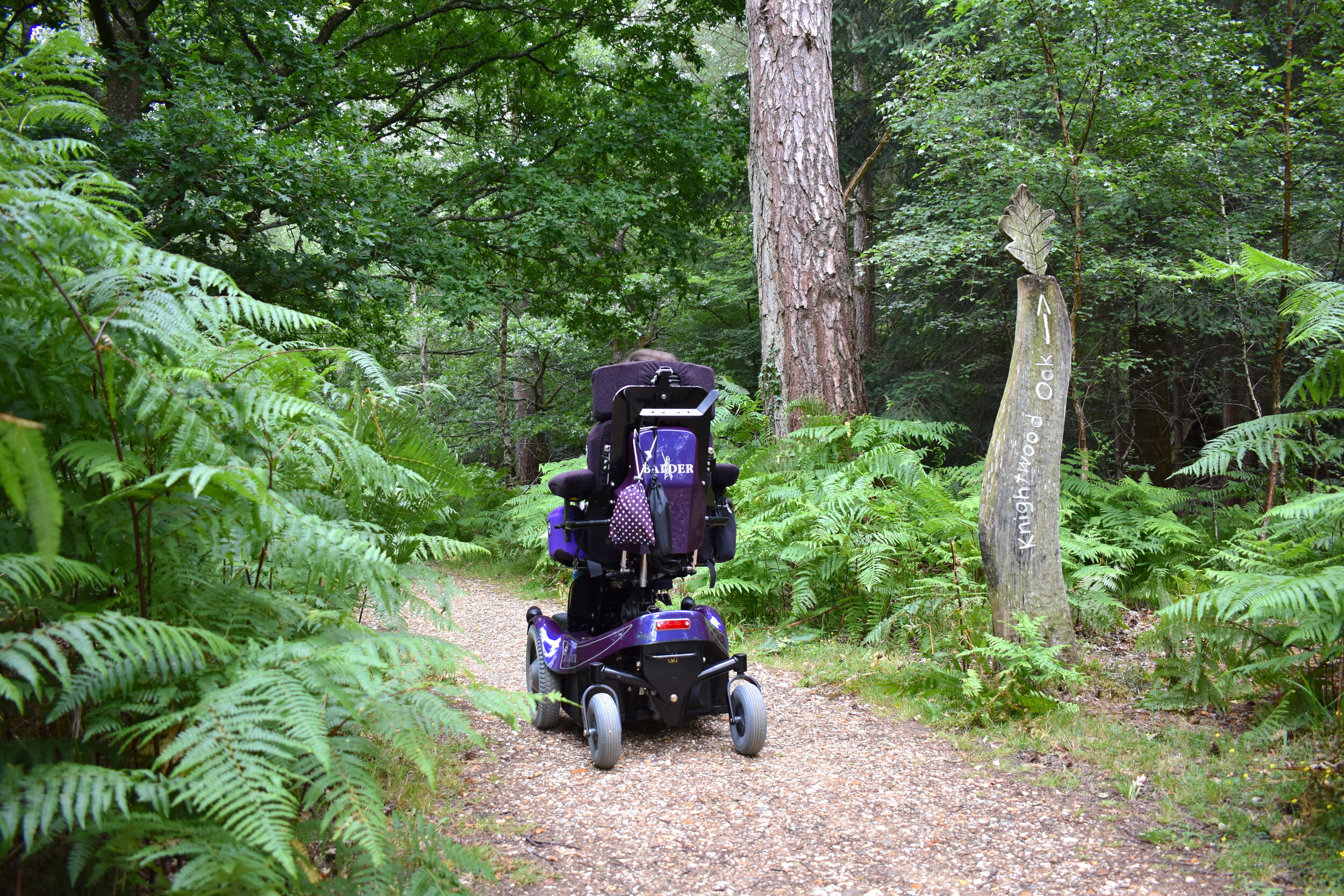
2- The Knightwood Oak Trail
Route Details
Difficulty: Easy
Terrain: Pressed-gravel
Distance: 0.4 miles
About
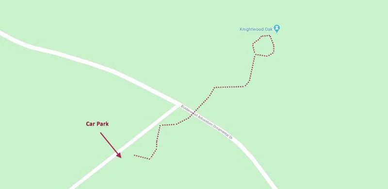
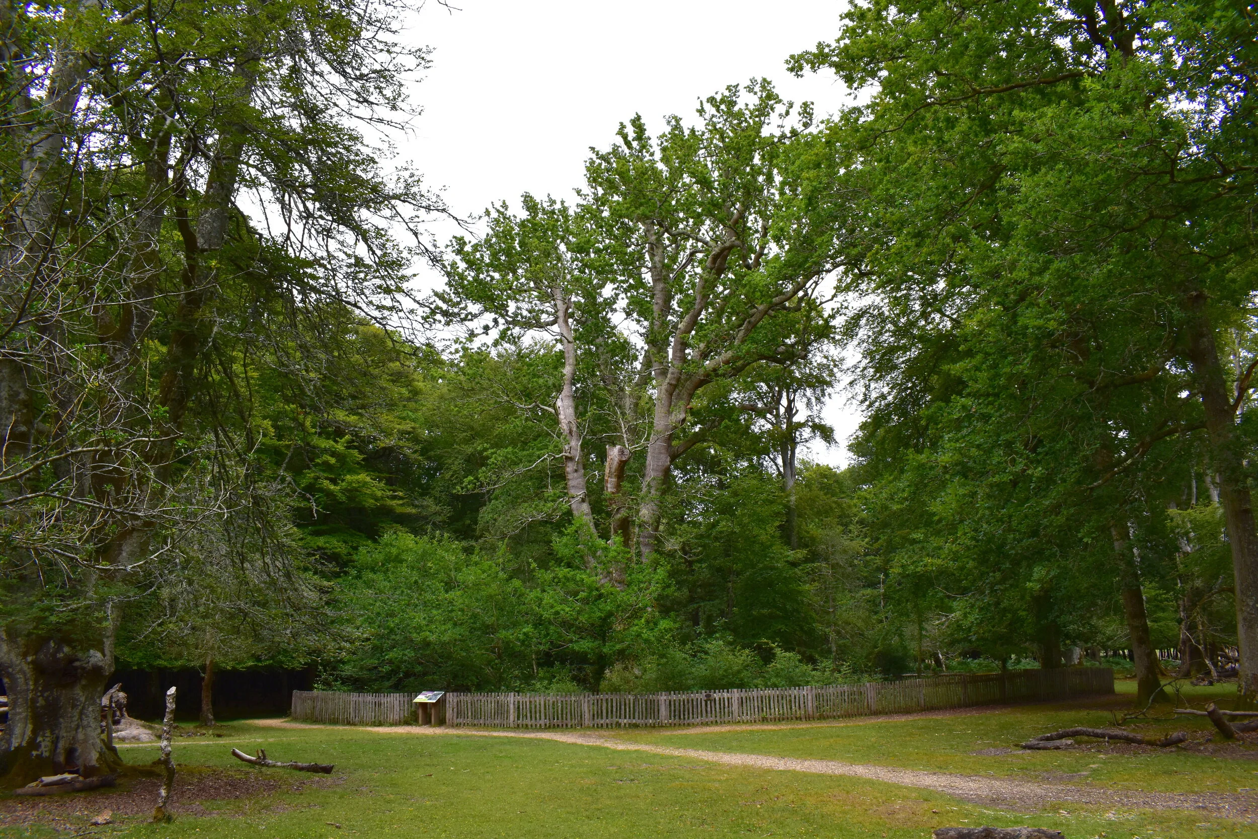
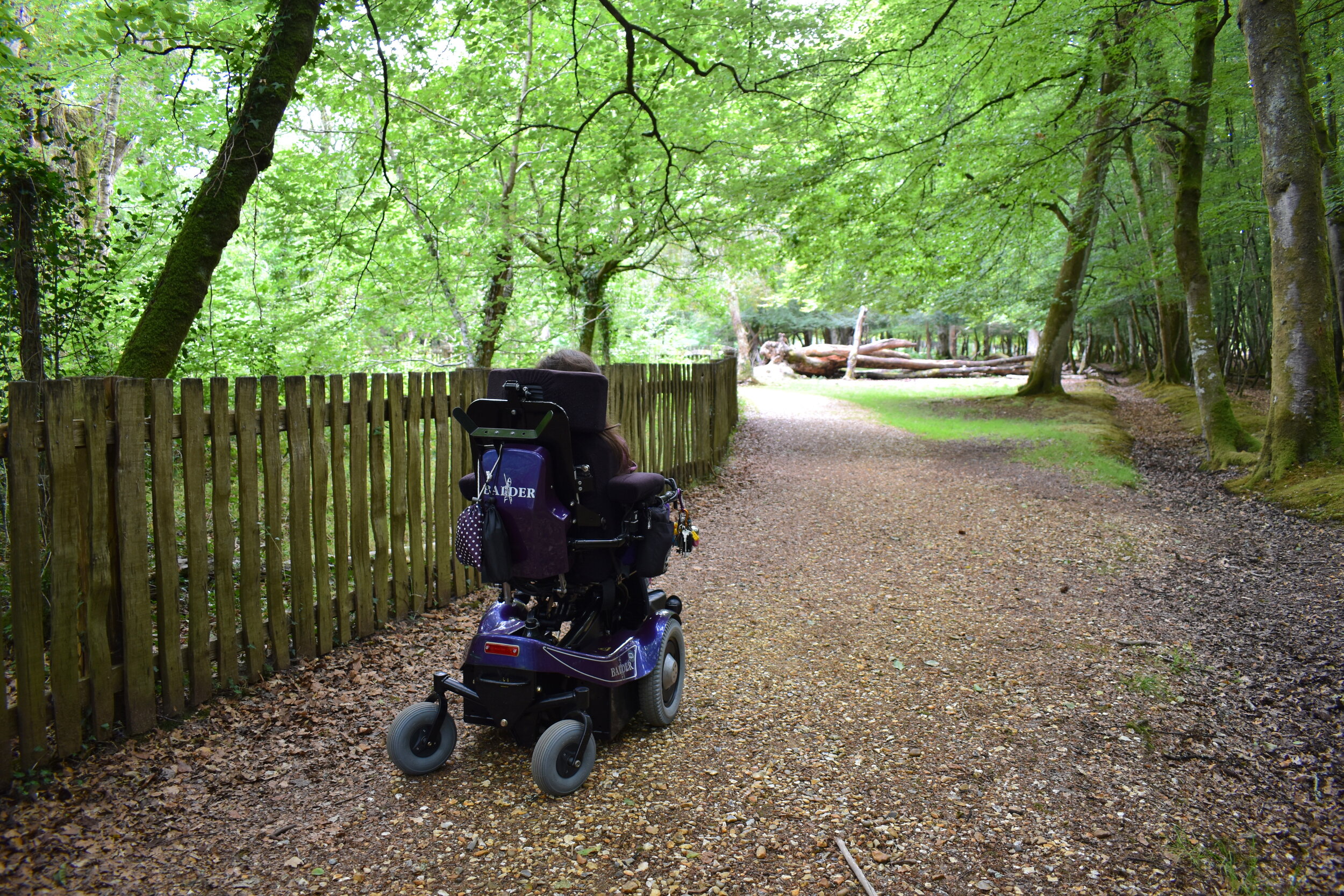
This short walking route is the easiest of the three, with minimal distance to cover and plenty of benches to stop and rest at. The pressed-gravel track begins in the Knightwood Oak car park and is level throughout the duration of the trail. After about 70 metres you will need to cross a small road, then the path continues towards the Knightwood Oak- the oldest tree in the New Forest. Once you reach the tree, the path loops around it before heading back to the car park the way you came.
This is a great route for the summer time as the trees open up in places, and there’s lots of lovely spots to stop for a picnic.
Interesting Things to Look For
The Knightwood Oak (pictured). At over 500 years old it is said to be the oldest tree in the New Forest. Although it may look a bit tired, it’s still alive and well!
The Queens Oak- planted by Her Majesty The Queen in 1979, to celebrate the 9th centenary of the New Forest.
How To Get There
Knightwood Oak Car Park, Minstead, Ringwood, SO43 7GR
Coordinates: 50.855975, -1.627264
This route is situated 3.6 miles from Lyndhurst, and begins at Knightwood Oak Car Park, just off Bolderwood Arboretum Ornamental Drive.
The car park is made up of pressed gravel and has one designated disabled bay, but there are plenty of other parking spaces that would easily fit most accessible vehicles. The nearest toilet facilities are 1.2 miles away, at Blackwater car park- the start of the Tall Trees Trail.
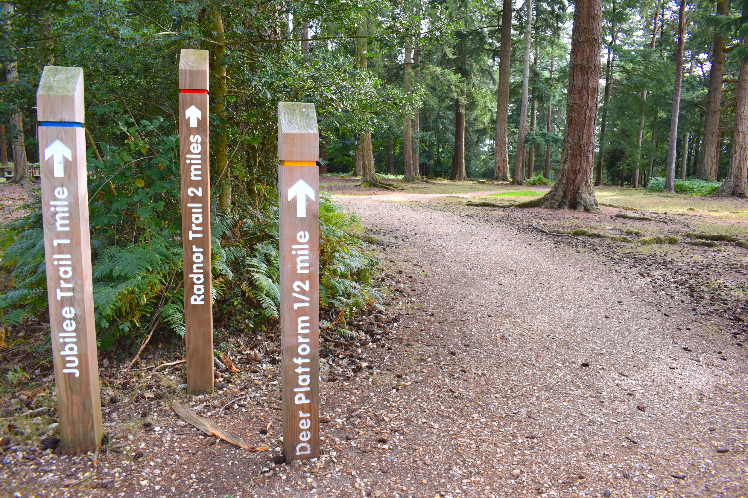
3- Bolderwood Deer Trail

Details
Difficulty: Moderate
Terrain: Pressed-gravel and forest-floor
Distance: 0.5 miles - 2 miles
About
This location is one of the most popular parts of the New Forest- and with deer spotting opportunities, dedicated bbq and picnic areas and instant access to beautiful woodland, it’s easy to see why!
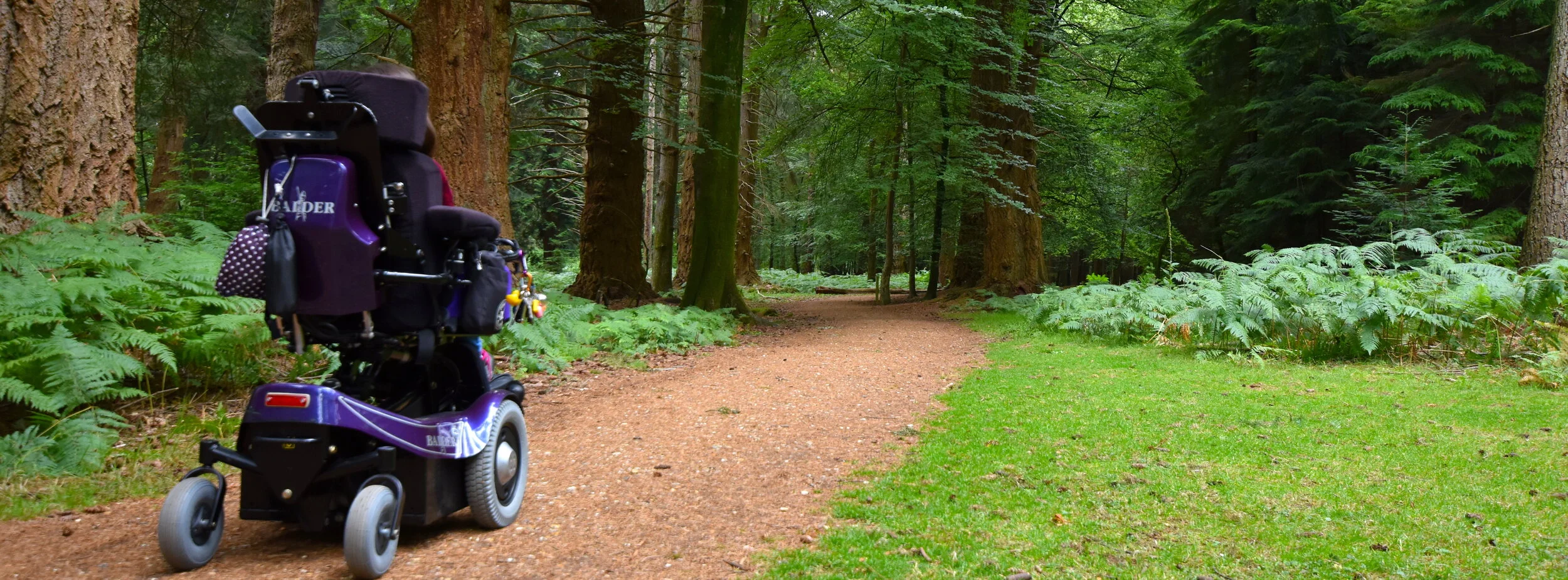
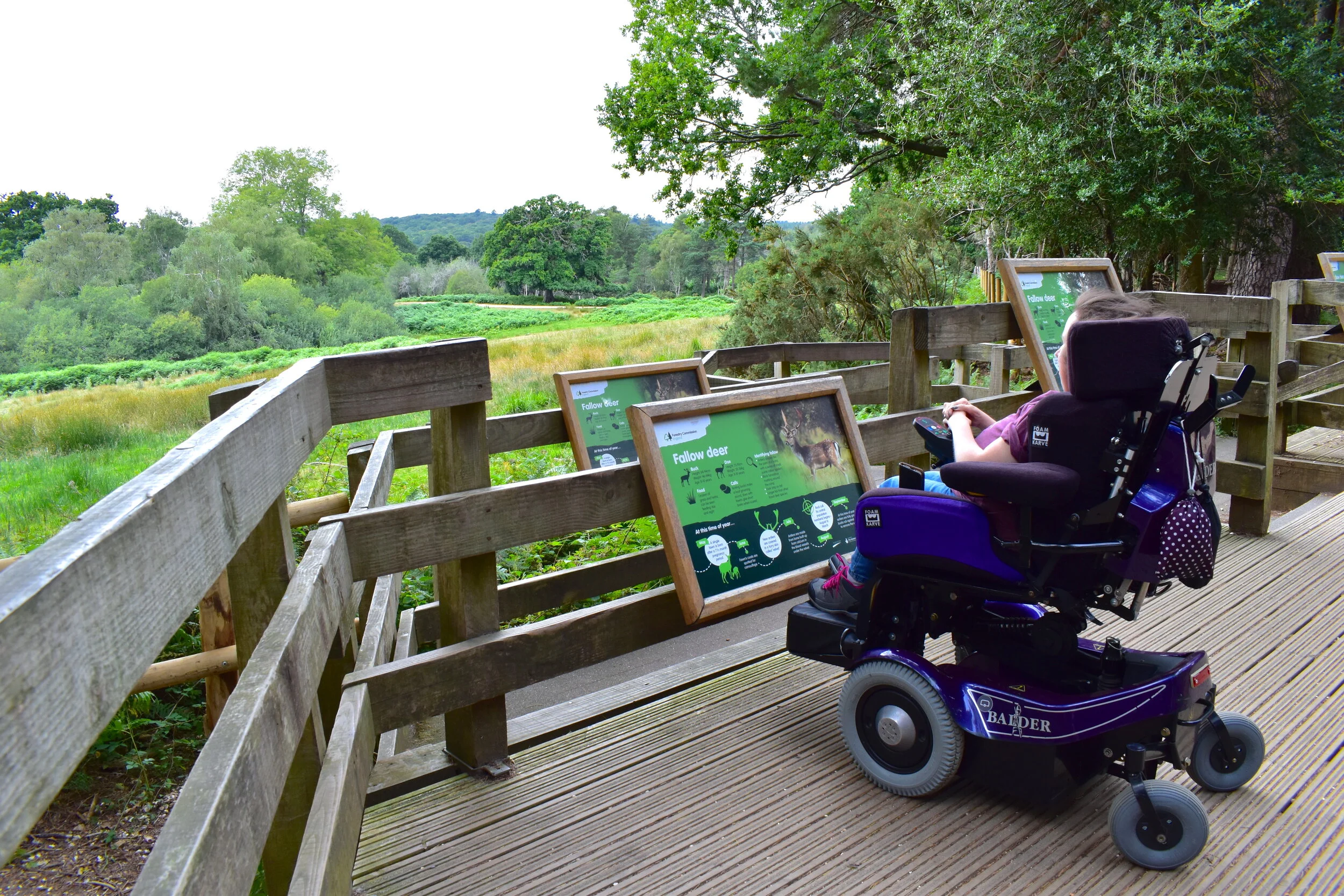
From Bolderwood Car Park there are 3 circular trails - The yellow route (0.5miles), the blue route (1 mile) and the red route (2 miles). All of them start by passing through a gate, crossing the road and heading into the heart of the forest via the Deer Viewing Platform. There is a small slope down to the platform, but it’s perfectly accessible for wheelchair users, and gives a great view of the greenery that fallow deer regularly graze on. From here you can decide which walking route you’d like to take.
The yellow route takes you on a short stroll back to the car park, whereas the blue and red routes take you on an extended scenic stroll through the forest. The terrain is a mixture of forest-floor and pressed gravel, and can be steep in places with occasional cross-slopes and avoidable tree roots. Although my electric wheelchair coped well, I’d only recommend the red and blue routes to confident wheelchair users and walkers, due to the slopes. There are, however, lots of benches to stop and rest at on route.
Interesting Things To Look For
The Deer Lookout (pictured)- this elevated platform looks out over the field where fallow deer are often seen grazing. Between April and September the New Forest keepers feed them here daily.
A mixture of ancient and modern woodland.
How To Get There
Bolderwood Car Park, Bolderwood Arboretum Ornamental Drive, Lyndhurst, SO43 7GQ
Coordinates: 50.876720, -1.656693
These routes are situated 4 miles from Lyndhurst, and begin at Bolderwood Car Park, just off Bolderwood Ornamental Drive.
The car park is large and made up of pressed gravel. It has a good number of spaces, including designated disabled bays. To one side of the car park you will find a toilet block (this also includes an accessible stall) and an information hut. Just off the car park there are lots of places to enjoy a picnic. It is free to park here, with the option of donating if you wish.